Brief history of our municipality
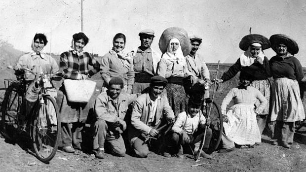
The Civil War logically affected El Palmar, like all of Spain; The news of the military uprising reached the Palmaleños, people who organized themselves and took measures, including seizing the dynamite stored in the quarry that provided the material for the highway to the Pantano. But on July 30, 1936, the coup troops, led by Commander Castejón, and a Falangist gang, wanted to teach these people of El Palmar a lesson, and occupied the town, looting and burning practically all the huts.
It should be noted that in El Palmar de Troya there were also many people who were against the military uprising, such as “Risquete”, “Corralero”, “Pajarín el Mayor”, Galindo, etc. And even many of them went to Utrera to reinforce the defense of Utrera against the imminent siege of the rebel troops. Also in the area, later (in the surrounding fields) many victims of reprisals hid.
This population center is very old. There are historical data that date back to the 13th century, when it was part of the “Moorish Band”, a defensive system against Muslim attacks. Other data, however, collected by the historians of Utrera, locate in La Cañada a settlement of that nucleus, called Siarum or more recently Searo, populated by soldiers of César who had deserved their retirement.
We must bear in mind that our geographical area where our town is located was an area populated by the Roman Empire, and that is why there is quite a lot of remains, both Archaeological and of other kinds, such as:
- Siarum, (town of La Cañada before within our term and now within the municipal term of Utrera)
- Inhabited by soldiers of Caesar who had deserved their retirement Vgia or Alice (where the crazy towers are also located in the municipality of utrera)
- Diarum (Located in the Zarracatín area within our municipal area)
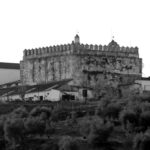
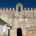
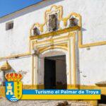
After the Reconquest (at the end of the 15th century and the beginning of the 16th century), the tower that is located in the Hacienda de Troya, became part of the building of the farmhouse, as it is today.
Years later, the “Hornado Council of the Mesta de Pastores” (created in 1273 by Alfonso X El Sábio), which was created to protect livestock, and whose functions included the formation and conservation of Veredas Reales, Cañadas and Cordeles, to that they were paths that would facilitate the transit of cattle (that is, transhumance), he established a “Cattle Rest” here, because as we have said, one of those cattle routes ran through here; also very close to the tower of Troya… hence the palm groves that existed where El Palmar de Troya sits today began to be called “El Palmar” and “descansadero de Troya”, and logically from there it came to be called “El Palmar de Troya” (Palmar because of the number of palms that existed, and Troya because logically the resting place was on the land of said hacienda).
In 1744 D. Martín Bécquer (relative of Gustavo Adolfo Bécquer) settles in the Troya hacienda by paying Real Income.
In this cultural context
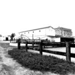
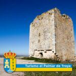
Highlight the Troya farmhouse and its surroundings, which include archaeological and architectural sites of a monumental nature such as the Troya tower (declared an Asset of Cultural Interest)
-From the landscape point of view, the territory falls within the Landscape Area called plain and hills around Utrera:
- Troya, in the context of his contribution to the Moorish Band.
- Zarracatín as the main referent of the utrera endorheic complex.
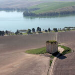
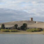
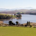
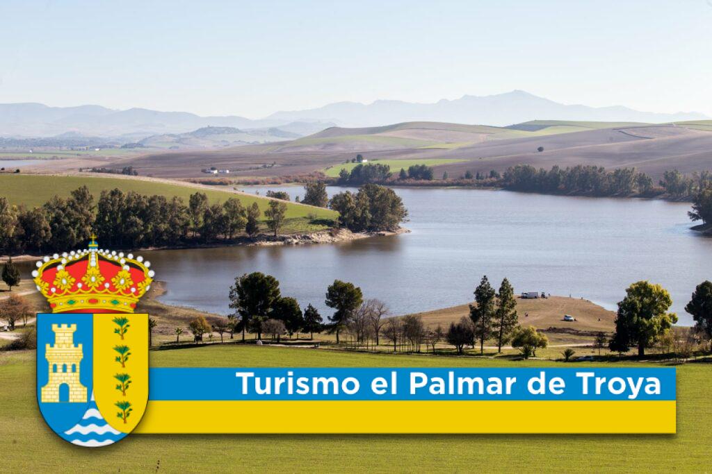
- The Torre de Águila Reservoir and the El Salvo stream are fundamental pieces of this landscape.
Most important commercial and economic
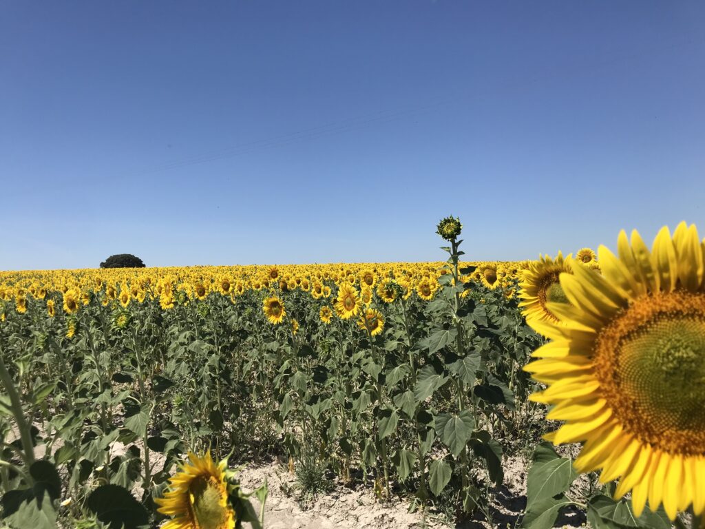
Its economy is fundamentally based on agriculture, cultivation of cotton, sunflower, beet and olive trees. The population is also dedicated to small and medium-sized industrial and commercial companies, but it is worth highlighting in recent years an emerging economy derived from activity in the service sector, such as catering at fairs.
Agriculture
- They are dedicated entirely to agricultural uses, clearly predominating in terms of area dryland annual crops (wheat, barley and oats).
- Another important crop corresponds to irrigated herbaceous crops, whose surface is located within the Lower Guadalquivir Irrigation Zone.
- The agricultural area of the area is complemented by several areas of table olive grove plantations.
- Finally, the resource utilization system is completed with hunting activity, since the vast majority of the space is included in private hunting reserves.
- Currently, cultivation is changing to the new trend in market demand, such as the planting of almond and olive trees for the production of oil in production trees harvested with machinery or the planting of asparagus.</ li>
Element of environmental interest
Remarkable as the cattle trails and channels that draw it, artificial wetlands such as the Torre del Águila reservoir, of natural origin that remains as Zarracatín or that disappeared as the Troya lagoon ; Centennial estates and farmhouses of architectural, archaeological and ethnographic value, as well as different types of settlements associated with agrarian colonization and the development of the salty irrigation area. We highlight:
- Cortijo la Peñuelas, Troya and el Águila in the northern half of the municipality.
- El Llano del Arroz, El Marcegozo, la Alcaparrosa, El Mármol, Zarracatín, El Pastor and the house in the southern half.
All these farmhouses and areas are milestones in the ancient and recent history of El Palmar de Troya
Livestock, Crafts
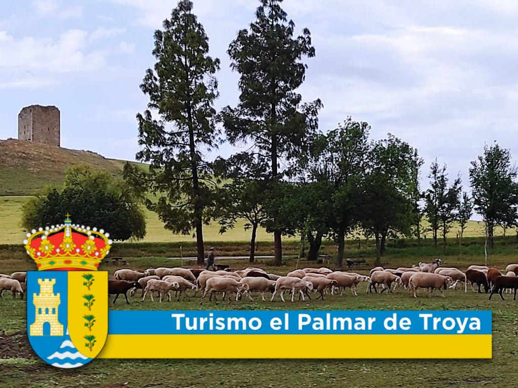
It should be noted that in the 19th century this area, the Vereda Real, became quite important, as it became an obligatory step for the transhumance of sheep and goats from the southern mountains (Morón – Ronda) towards the Guadalquivir marshes, since here it widens the sidewalk and there is also water for the animals, which makes this rest area very important.
Predominant climatology
- Climate: The zone enjoys a continental Mediterranean softened by a certain maritime influence through the Guadalquivir river.
- Extreme maximum temperatures are 42.5 ºC on average in July and August, with minimums of 1.06 ºC on average in January, and the risk of frost is in the months of December, January and February.</li >
- The hours of sunshine add up to an annual total of 2,800 hours.
of the municipality
region
Areas
land
Chronology
In 2001, this municipality was a brave city when it came to
highest standards and ethical practices.

Century XIII
Palmar de Troya
Although there are historical records from Roman times and from the 13th century, when it belonged to the Moorish band, the present settlement is mainly due to the relatives of the Republican prisoners who, after the Civil War, built the Torre del Águila reservoir.

Century XIII
Designation
The name El Palmar De Troya comes from the numerous palmetto trees that grow in its fields and from the name of the nearby Cortijo de Troya.

2018
Constitution of the Municipality
The municipality of El Palmar de Troya was constituted on 2 October 2018 by the segregation of the municipality of Utrera, making it the one hundred and sixth in the province of Seville.

2018
Flag
The Palmaresan flag has three horizontal stripes of equal width, the upper and lower ones are navy blue, while the central one is yellow, with the coat of arms in the middle.
2018
Coat of arms
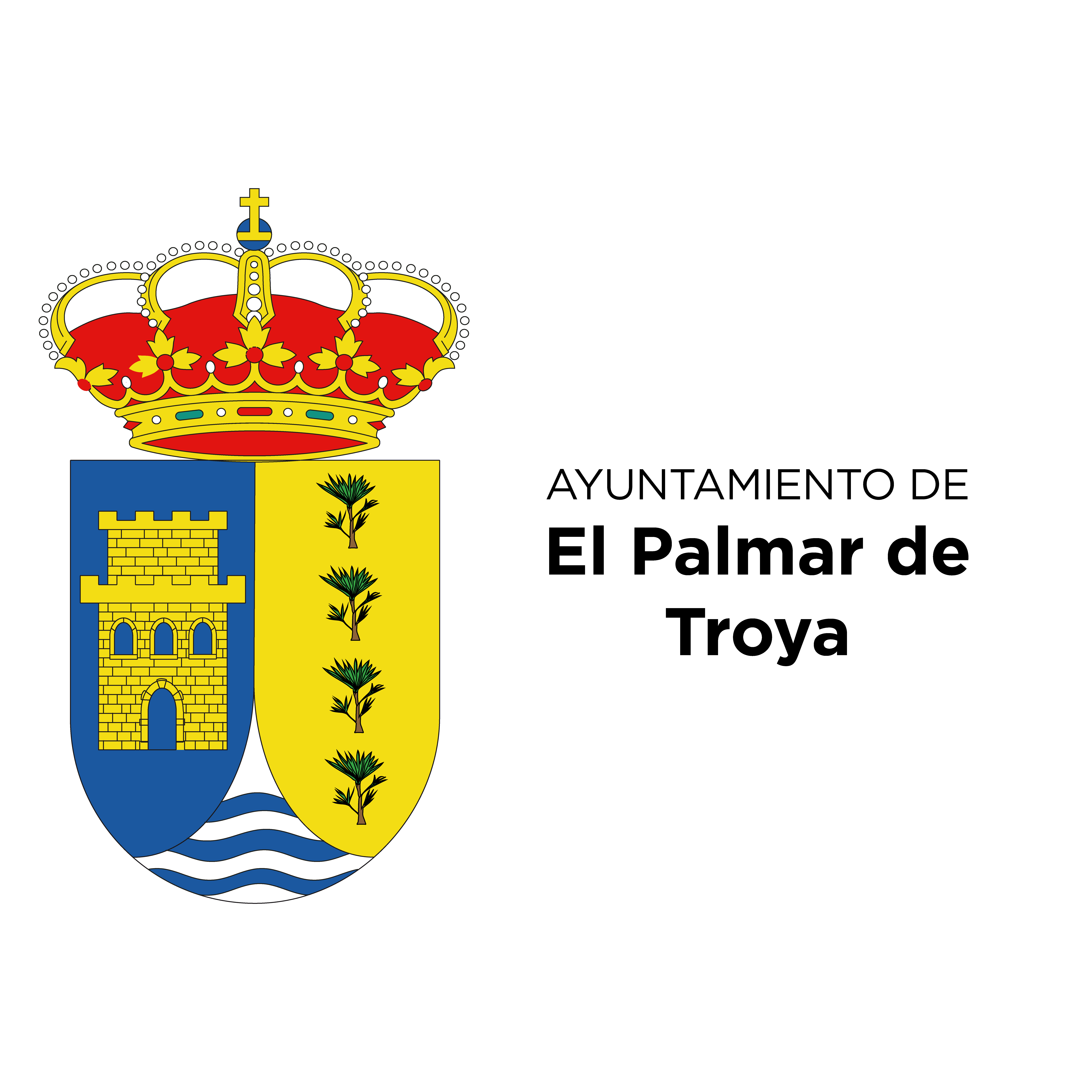
In the municipality's coat of arms, the central figure is a tower, representing the Eagle Tower, which has palm trees at its feet and is crowned with a flag of Andalusia.
Web subvencionada con los fondos para el fomento de la implantación de las tecnologías de la información
y la comunicación de los recursos e instalaciones turísticas municipales
(MUNITIC).

El Palmar de Troya City Council
Tourist Office
C/ Geranio S/N CP 41719
Mon – Fri: 9:00 am – 14:00 pm
